The Challenge
Most landscape apparel draws a mountain that looks about right. Nothing on it corresponds to the actual place.
The Solution
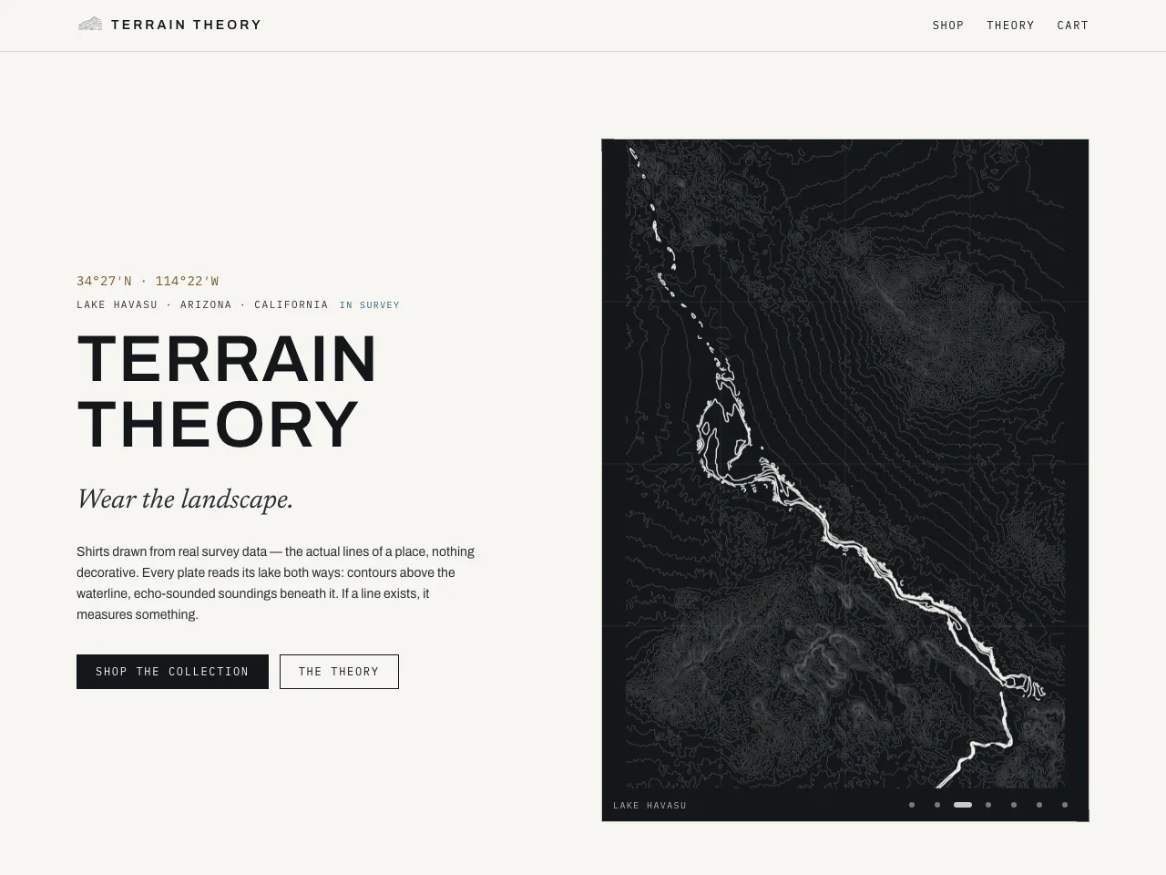
Every plate is drawn from real geographic survey data and reads its lake both ways: contour lines above the waterline, echo-sounded soundings beneath it. The print pipeline turns survey sources into plates, and the storefront sells them.
What I Built
Survey data, not illustration
Contours and bathymetry taken from the real survey for each location.
Above and below the waterline
The same plate carries the topography and the echo-sounded depth.
Print composer
A pipeline that renders each location's plate from its source data.
Outcome
- If a line exists on the shirt, it measures something
Built With